Drone Roof Inspections in St. Paul, MN
Drone imaging for large or hard-to-reach St. Paul, MN commercial roofs, with dated image sets that show ponding, damage and drainage across the whole surface.
Request a Roof Assessment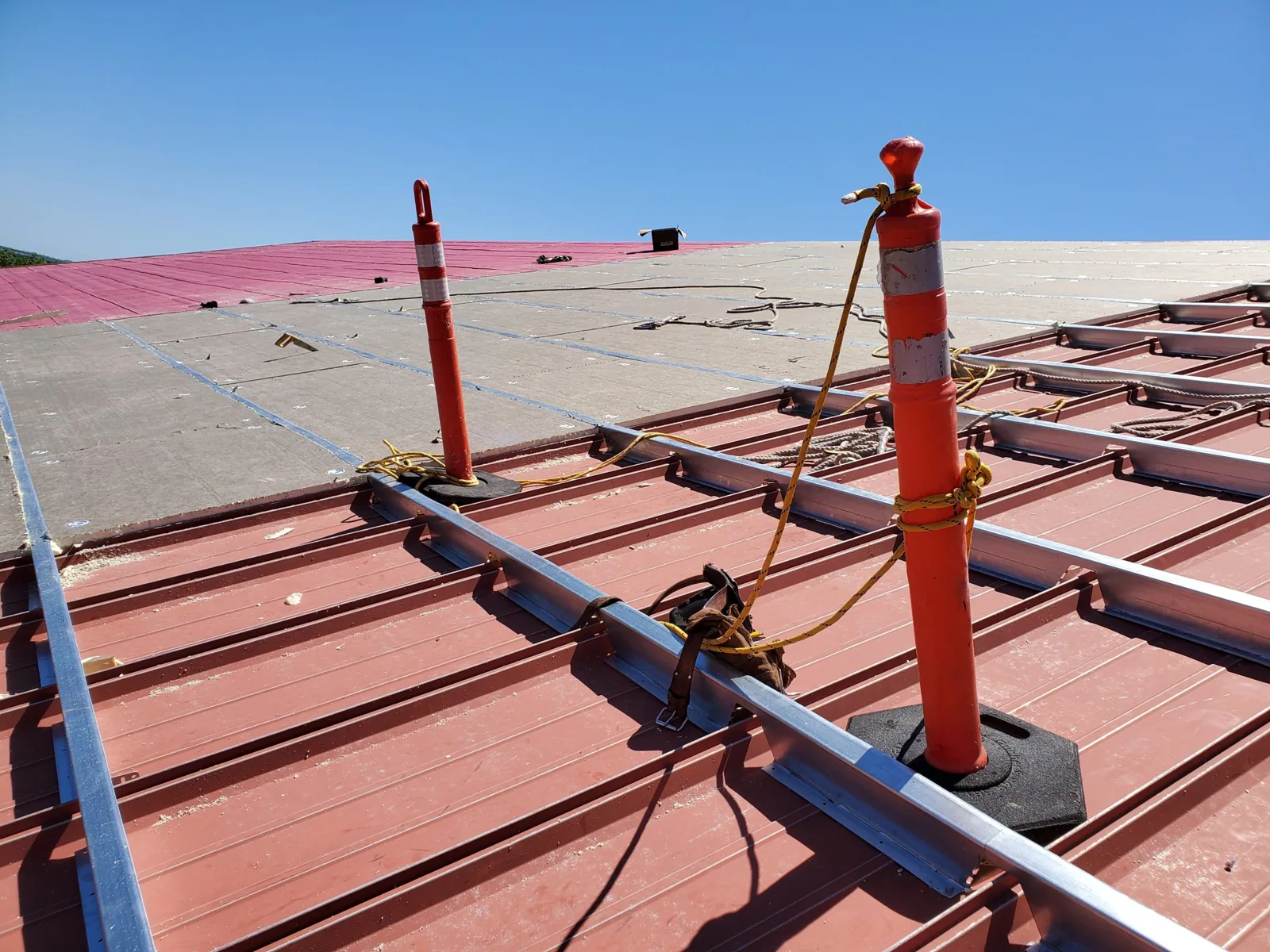
Drone Roof Inspections
Seen from above, a large flat roof reveals patterns that are invisible at eye level. A line of ponding that follows a sagging purlin, a dark streak where a drain has been overflowing, a section of membrane that has lifted at a seam: all show up in a single pass of overlapping images. After a St. Paul storm, those images become the first dated record of what the roof looks like, taken before anyone has set foot on the surface. They cost the owner little time and leave the roof untouched.
Capturing the Whole Roof in a Dated Image Set
A drone flight follows a planned grid at a set height so every part of the roof is covered with overlap. The result is a library of high-resolution images, each tied to a date, a time and a position on the roof plan. We add oblique shots of edges, parapets and rooftop equipment, and close passes over areas that look unusual.
The images are stored as a set, so a later flight can be compared with the earlier one. If a patch of ponding grows or a seam begins to open, the comparison shows the change. That kind of before and after evidence is difficult to produce from memory or from a handful of ground photographs. Our condition reports use these image sets as the visual backbone of the findings. Each image is labeled by roof area and carries the same date as the written entry that refers to it, so a reader can move from a sentence in the report to the picture behind it without searching.
Reaching Roofs That Are Unsafe or Slow to Walk
Some roofs are better surveyed from the air first. A distribution building with an expansive roof field, a tall structure with limited ladder access, a roof with fragile skylights or a surface that is icy or wet can take a long time to walk safely. The drone covers the area quickly and flags the places where a technician should go on foot.
That ordering reduces risk and shortens the visit. It is especially useful at the large campuses in Eagan, the industrial roofs of Riverview and West Side Flats and the big-box and distribution center roofs across the east metro. Flagged areas guide the technician, while unflagged details still need the coverage specified in the inspection plan.
Flagging Ponding, Debris and Displaced Membrane From Above
Aerial imaging is best at spotting conditions that appear as patterns across a surface. These include:
- Standing water and staining that shows how the roof drains
- Debris piles and blocked drains, scuppers and gutters
- Displaced or flapping membrane and lifted edge metal
- Visible blistering, wrinkling or discoloration
- Equipment, ductwork and cable runs placed over the membrane
Each finding is marked on the plan with a reference to the image and the date. A drone cannot read moisture inside the roof or probe a seam, so anything that needs measurement is passed to the ground crew. The hands-on inspection and the aerial set are meant to be used together.
Checking Airspace and Site Rules Before Launch
The Twin Cities has busy airspace. Minneapolis-Saint Paul International Airport and the Air Reserve Station there, Lake Elmo Airport and the downtown skyline all create zones where flight needs attention. Before each flight we check the airspace, weather and wind and confirm site access with the owner or property manager.
We also consider the ground. Drones are not flown over people, and the flight plan keeps clear of occupied areas, traffic and neighboring property. Wind matters to every flight plan, and a flight is postponed when gusts or precipitation make it unsafe or the images unreliable. These decisions are logged with the flight record, so the owner can see when conditions allowed the work.
Pairing Aerial Images With Hands-On Verification
A good aerial survey leads to a better ground inspection. The images show where to look, and the technician confirms what each flagged area really is. A dark patch may be ponding, a stain or a shadow, and only a physical check settles it. When wet insulation is suspected, an infrared and core-cut moisture survey maps it with measurements.
The final report ties the three sources together: aerial images, ground observations and moisture readings. Each finding names the evidence behind it, which makes the report defensible when it is shared with a lender, a buyer or an adjuster.
Image quality is part of that defense. We note the flight height, the lighting and the date on each set, and we retake any area where glare or shadow hides the surface. An image that cannot be read is not evidence, so the set is reviewed before it is delivered and gaps are closed with a second pass or a ground photograph.
Our delivery preserves original files with the flight date and building identification, and limits distribution to people authorized to review property imagery.
Surveying Many Roofs Quickly for Portfolio Owners
Owners with several buildings need to compare their roofs on equal terms. Aerial imaging makes that practical because the same method is applied to each building and the results are comparable. A retail owner with locations in Woodbury, Eagan and Roseville can compare visible changes and identify where hands-on confirmation is needed. Images alone cannot certify a roof as sound.
The comparison feeds a multi-site roof program where repair and replacement dollars go to the buildings that need them first. Each building keeps its own dated image library, and the set grows over time into a visual history of the portfolio. After storms, storm damage roof repair scoping can begin from the images before crews are dispatched.
For a portfolio review, our image set uses a consistent building name, capture date, flight boundary and roof-zone label. Images can prioritize closer inspection across many properties, but resolution, glare, obstructions and camera angle may hide small defects. A separate follow-up list identifies findings that need a roof walk, moisture reading or repair-history check. That follow-up list turns aerial coverage into a manageable inspection plan without treating image review as a condition certification.
Questions We Hear
Can a drone inspection replace a walk of the roof?
No, and it is not meant to. Drone imaging excels at coverage and pattern recognition, while walking the roof is how we probe seams, read moisture and examine details up close. The best choice is both, with the aerial set directing the ground work.
What kinds of roofs benefit most from drone imaging?
Large, tall or hazardous roofs gain the most. Wide warehouse and distribution roofs, buildings with limited access and roofs that are wet or icy are prime candidates. The deciding factor is how long and how safely a technician could cover the surface on foot.
What do I receive from a drone flight?
You receive a dated image set tied to a roof plan, with findings marked and explained. Images are organized by area so you can find the section you care about. The set is kept so a later flight can be compared with it.
Does weather limit drone work?
Yes. Strong wind, rain, snow cover and low light can make a flight unsafe or the images unusable. We reschedule instead of flying marginal conditions, and the record notes the weather on the day.
Will drone images support an insurance claim?
They help. Images taken soon after an event show the roof as it stood before repairs begin, and an earlier set shows how it looked before the storm. Combined with ground findings, they make a clear case for the adjuster.